Weather Forecasts Built for Your Route
RideAheadWeather — free, point-by-point forecasts for cyclists and bike touring
Free Weather Forecasts for Your Cycling Routes
RideAheadWeather is a completely free tool that provides accurate, point-by-point weather forecasts for cyclists. Upload your GPX route file at no cost and get detailed weather predictions including temperature, wind speed, precipitation, and more for every segment of your ride. Plan your cycling adventures with confidence and never get caught in unexpected weather again—absolutely free!
Our free, advanced weather forecasting system analyzes your entire cycling route and delivers real-time weather data tailored to your planned ride time and average speed. Whether you're planning a long-distance tour, daily commute, or weekend group ride, RideAheadWeather helps you optimize your departure time and prepare for changing conditions along the way—no registration or payment required.
Most weather apps only tell you what's happening where you are right now. A three-hour ride can pass through several different weather systems, and a city-wide forecast checked before you leave won't catch the rain shower waiting an hour into your route. RideAheadWeather solves that by calculating where you'll actually be at each point along your ride, based on your start time and average speed, and forecasting for that exact place and moment—not just your starting point.
Routes to try
See all routes →Not got a GPX file handy? Pick a classic ride and see the weather along it.
London, Surrey & Kent, United Kingdom
Kent Climbs Loop
A hard 124 km loop from Highbury to the North Downs and the Surrey–Kent hills, with about 1,850 m of climbing including Toys Hill and Ide Hill.
London, Surrey & Sussex, United Kingdom
London to Brighton
Highbury to Brighton in 98 km: over the North Downs, through the Sussex Weald and up Ditchling Beacon, with about 1,050 m of climbing.
London, Buckinghamshire & Oxfordshire, United Kingdom
London to Oxford via Marlow
A one-way 124 km ride from Highbury to Oxford through Marlow and the Chiltern Hills, with about 1,300 m of climbing.
London & Kent, United Kingdom
London to Whitstable
A one-way 128 km ride from Highbury to the Kent coast at Whitstable, over the North Downs, with about 1,450 m of climbing.
North London, United Kingdom
North London Hills
A short, punchy 49 km ride over north London’s hills, from Swain’s Lane to Muswell Hill, with about 670 m of climbing.
London, United Kingdom
Richmond Park Lap from Highbury
A 50 km ride from Highbury along the Thames to Richmond Park for a lap of the park road and back, with about 270 m of climbing.
North London & Hertfordshire, United Kingdom
Spoke Café Loop
A rolling 99 km loop from Highbury into the Hertfordshire lanes, with a café stop at Spoke Cycles CC in Codicote and about 900 m of climbing.
London, Surrey & Berkshire, United Kingdom
Windsor Great Park from Islington
A flat 121 km loop from Highbury along the Thames to Windsor Great Park and back, with only about 540 m of climbing.
Frequently Asked Questions
Is RideAheadWeather really free to use?
Yes. Uploading a route and getting a forecast costs nothing, with no account, subscription, or payment required.
What file format do I need to upload?
A standard GPX file exported from Strava, Komoot, RideWithGPS, or any other cycling app. You can also paste a public Komoot tour link instead, or a Strava link, which guides you through downloading the GPX.
How is this different from a normal weather app?
A normal weather app gives you one forecast for one location. RideAheadWeather works out where you'll be at each point along your route, based on your start time and average speed, and gives you the forecast for that exact place and moment - not just the city you started in.
How far ahead can I plan a ride?
Forecasts are available up to 48 hours ahead of your start time - the window where hour-by-hour weather predictions stay reliable.
Do you store my route or personal data?
Only briefly. Your uploaded route and its forecast are kept in a temporary cache for about two hours (so you can create a share link), with no account or IP address attached. If you paste a Komoot link, our server fetches the route (your browser never contacts Komoot) and caches it for about six hours; the share token of a private link is never stored. A route is only stored longer if you create a shared link, and then its first and last part (up to 500 m) are removed. See our Privacy Policy for the full details.
From the blog

Free Cycling Weather App for Safer Rides
Transform your cycling with RideAheadWeather, a completely free tool. Get accurate weather forecasts for your routes and stay safe on every ride.
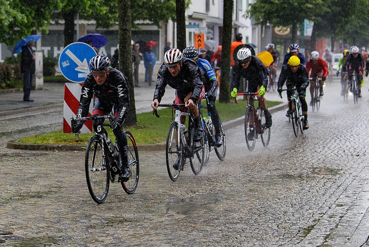
Why Cyclists Should Check the Weather
Why checking the weather matters for cycling safety and performance, plus tips to ride smart in any conditions with free forecasting tools.